
Orthomosaics and photogrammetry
Your work site laid bare.
When you have a project that requires regular status updates or need a site overview before starting construction, Flying Coyote can provide you with interval maps of varying detail. From basic orthomosaics to high resolution digital surface models, we will provide the critical information you need to provide to all your project stakeholders.
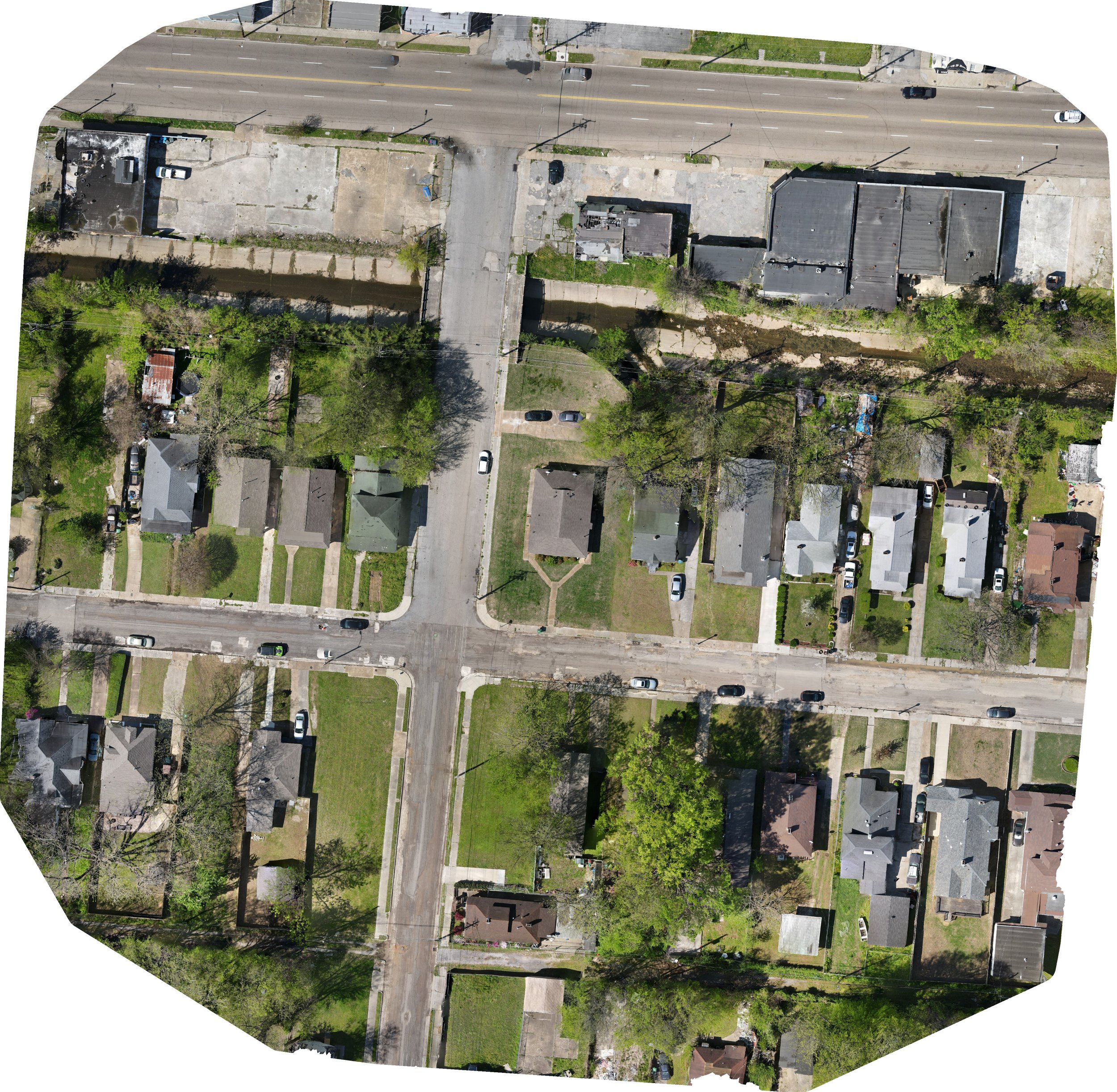
Neighborhood orthomosaic
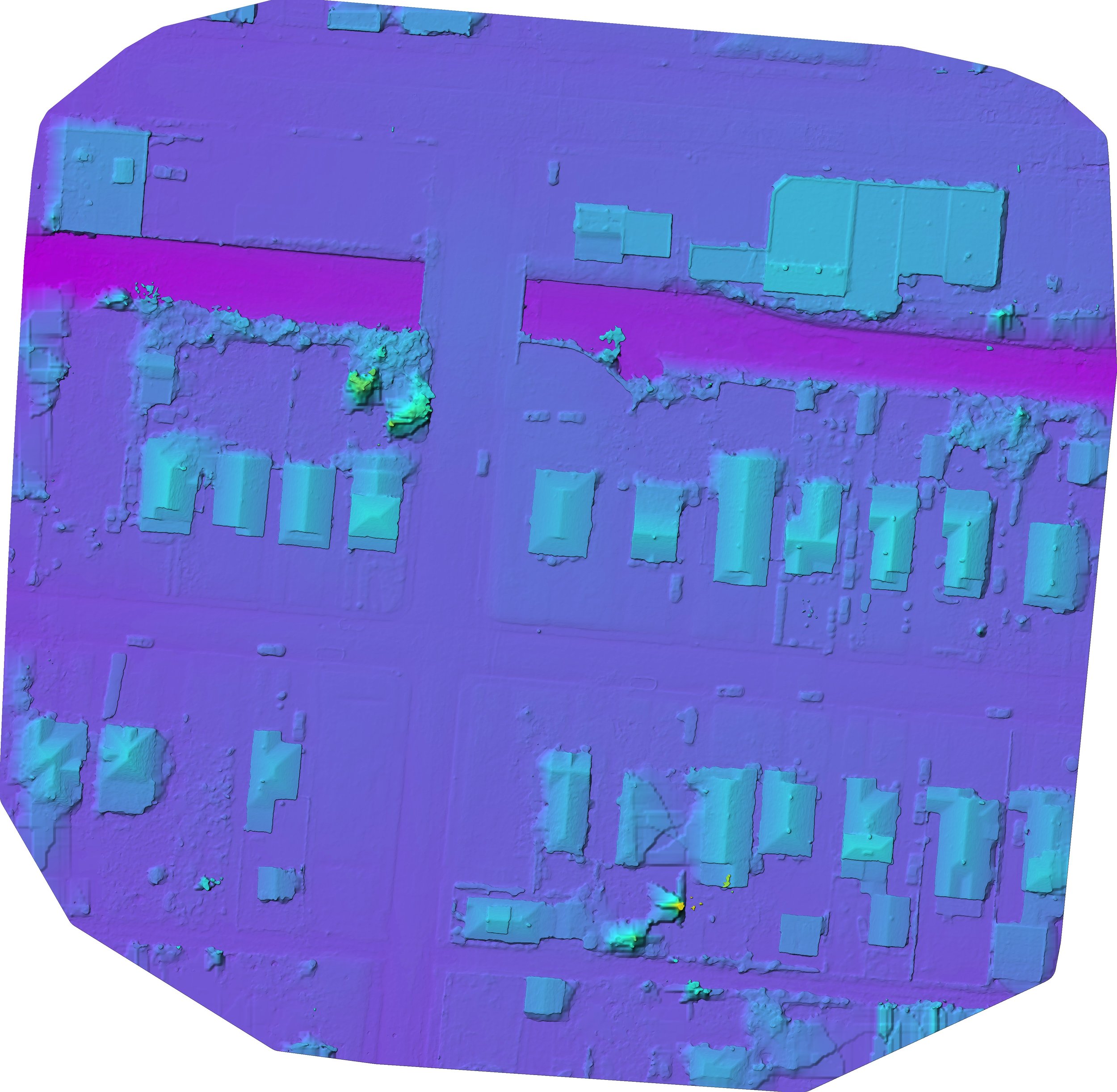
Neighborhood digital surface model